Alto da Pedrice / Poio da Cabeça is a mountain in the Serra da Estrela southeast of the central massif. This mountain is located almost exclusively in the municipality of Covilhã.
The summit of this mountain lies between the parishes of Unhais da Serra and Cortes do Meio, both in Covilhã.
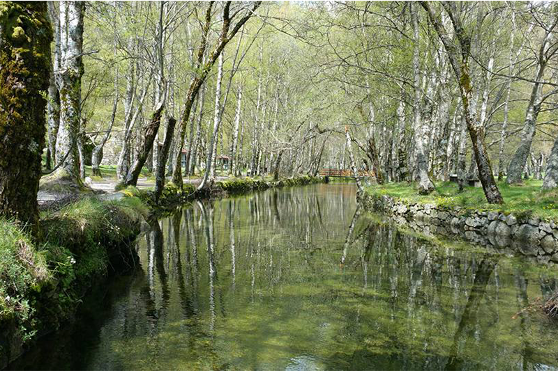
The Alto da Pedrice is drained into the Zêzere River, a tributary of the Tagus, either directly through the Zêzere as it happens in the northwest slopes, or through streams that flow into the Zêzere such as the Ribeira de Cortes in the south-east and Ribeira de Alforfa in the slope south-west.
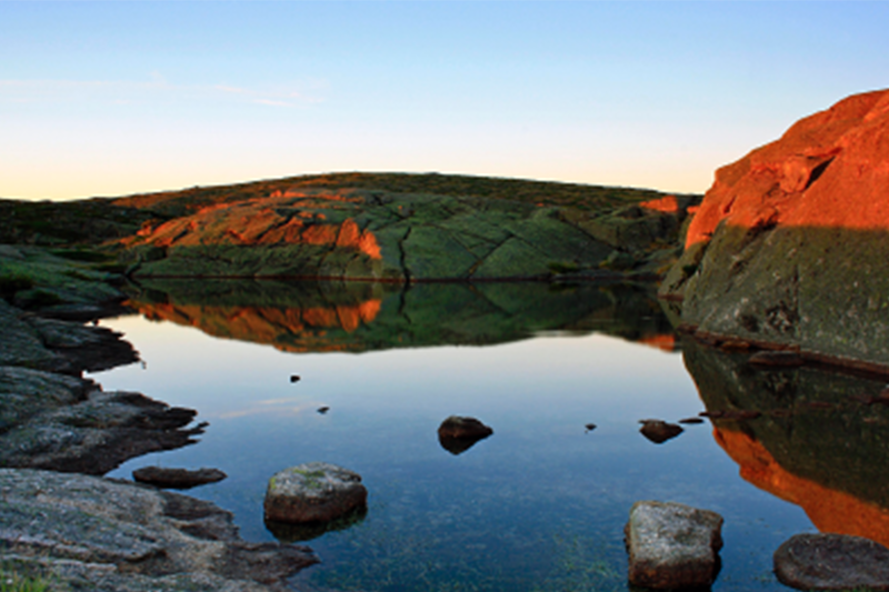
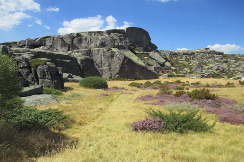
Cascalheira do Alto da Pedrice is a deposit of granite clasts that covers the eastern slope of the upper sector of the Alforfa stream. The origin of this geological formation is found in the fragmentation of rocks by ice. When the water that infiltrates in the cracks in the rock freezes, it increases in volume, generating high internal pressures that cause it to partition, the resulting fragments being called cryoclasts.
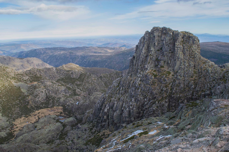
With an altitude of 1758 meters, Alto da Pedrice is not only the 2nd highest mountain in the Serra da Estrela but also the 2nd highest mountain in mainland Portugal.
The summit of this mountain is only accessible on foot. The easiest route to reach the summit begins next to the Piornos car park, next to the fork in the road from Seia to Covilhã or Manteigas. From the car park it is just over 2.5 km to the summit. There is a trail that can be used, but near the summit the trail disappears.
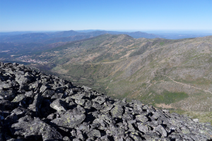
The top of the mountain is plateau, but the south and west slopes of the mountain are very steep. The west slope of Alto da Pedrice / Poio da Cabeça has the particularity of being covered with loose rocks of glacial origin and is known by the name of Encosta do Diabo.
From the top there is a privileged view to the Estrela / Torre, with the central massif and the Covão de Ferro dam.